GPS Data to Litchi Waypoint Mission Converter
Instructions

Instructions
- In page one of GPS Data to Litchi Waypoint Mission:
- Select the desired units to be stored in the Litchi CSV file.
- Select the desired path mode.
- Choose whether or not the heights should be above ground.
- Select the desired heading offset from follow wayline.
- Select the mission height. This value will be used for all waypoints.
- Select the gimbal pitch angle. This value will be used for all waypoints.
- Use the file chooser to upload your GPX, KML/KMZ, or GeoJSON file.
- Generate the mission and review the resulting parameters.
- In page two of GPS Data to Litchi Waypoint Mission:
- Review the parameters and calculations.
- Download the CSV file.
- In the Litchi Mission Hub:
- Use the Missions menu to import the CSV file created by GPS Data to Litchi Converter.
- In "Settings" make sure that the "Heading Mode" is set to "Custom(WD)".
- Adjust the Litchi mission parameters (such as speed) as desired
- Go fly!
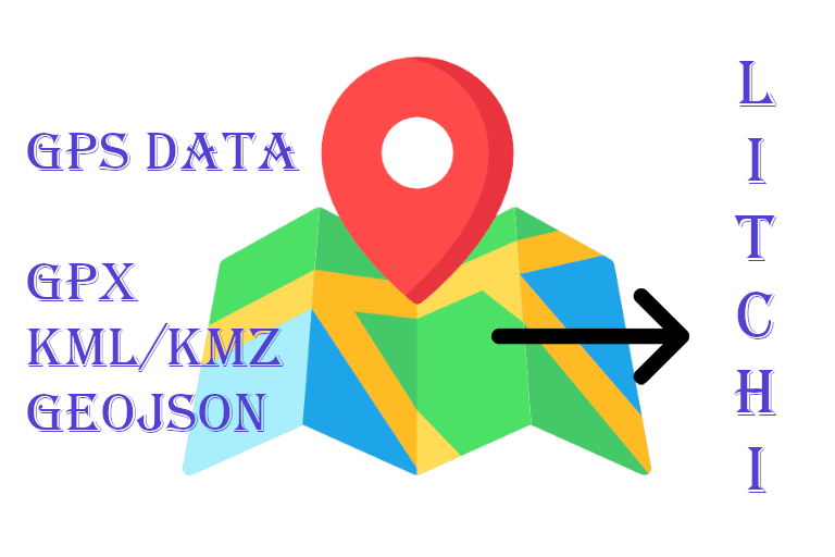
This web application converts GPS data into a Litchi waypoint mission. GPS data can be provided in one of the following formats:
- GPX: An XML-based format commonly used by Garmin devices
and other GPS applications. GPX files can contain three primary types of data:
- Waypoints: Converted to a Litchi waypoint mission.
- Routes: Ignored during conversion.
- Tracks: Converted to a Litchi waypoint mission.
- Note: If a GPX file contains both waypoints and tracks, the track data takes precedence and is used for the conversion.
- KML/KMZ: Formats commonly used with Google Earth to store geographic data, including paths and polygons. KML uses XML, while KMZ is its compressed counterpart.
- GeoJSON: A standard format for representing geographic data, including points, lines, and polygons, along with optional feature attributes.